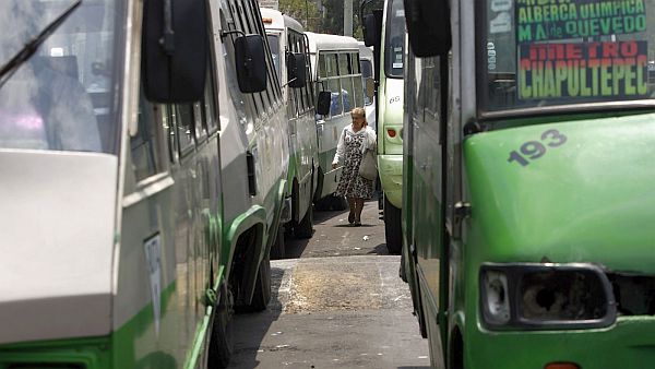
Mexico D.F. - Mexico City officials are trying to untangle the convoluted network of bus lines that crisscrosses their unwieldy metropolis. So they are calling on the only people who really know where they go: riders.
The city's mobility department, along with a handful of private companies and nonprofits, launched a new crowdsourcing app to map more than 1,000 routes traveled by buses, micro buses, and vans.
Called Mapatón CDMX, it will use geolocation to track each line's exact trajectory and to collect other useful information—for example, where the bus stops, or how much a ticket costs. The technology, which was developed at MIT, has already been used to create a digital map of the bus system in Dhaka, Bangladesh.
By enlisting the public, Mapatón will collect the data in a little over two weeks, from Jan. 29 to Feb. 14. An open database with the results will be available later in February, speeding up a process that might have taken years using more traditional methods.
The whole project, funded by the British Embassy in Mexico and the Hewlett Foundation, will cost 350,000 pesos ($19,000), almost half of which will go toward cash and prizes to entice riders to participate.
Read more at qz.com.


