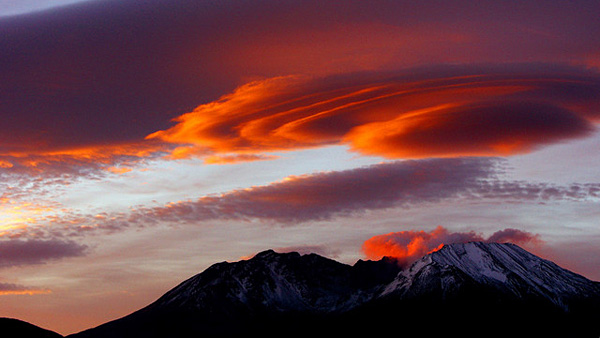
Clash Over Rebirth, Use of Mt. St. Helens
 Cornelia Dean - New York Times Cornelia Dean - New York Times
go to original


| | (olderthandirt) |  |
Castle Rock, Wash. - When Mount St. Helens erupted nearly 30 years ago, it flattened more than 150 square miles of forest, spewed millions of tons of mud and debris, filled the sky with ash and left at least 57 people dead. In the process, it also created an unusual outdoor laboratory where researchers have worked ever since to answer an increasingly urgent question: How do landscapes recover after violent disturbance?

It has long been "one of the most fundamental questions in ecology," said Charles M. Crisafulli, an ecologist at the Pacific Northwest Research Station, an agency of the U.S. Forest Service, which manages the mountain. And if, as seems likely, a warming world brings more storms, fires, droughts and floods, the research on the mountain will only grow in importance. "Mount St. Helens allows us to evaluate things we could not evaluate anywhere else," Mr. Crisafulli said.

But now the work is caught up in a debate over management of the mountain, designated after the eruption as the Mount St. Helens National Volcanic Monument. Some say the 110,000-acre monument should be a national park.

Some say the Forest Service should manage it differently. "There is a certain segment of the population who would say, `It's been 30 years, and it's over,'" said Peter Frenzen, whose job title with the Forest Service is monument scientist.

As one local resident put it in a letter to the Mount St. Helens Citizen Advisory Committee, appointed to make recommendations on the mountain's fate, "throw out the study zone and let people recreate."

On the surface, at least, that sentiment may seem to make sense. Over the years, so many researchers have spent so much time on the mountain that some call it the most-studied landscape on earth. But if much has been learned there, much remains unknown, and the process is playing out slowly, Mr. Crisafulli and Mr. Frenzen said one day recently as they hiked into the zone.

A few miles away, in land managed by Weyerhaeuser, a timber producer, thick stands of trees laboriously planted by hand immediately after the eruption rise 70 feet tall. But the zone is largely treeless, studded with house-size rocky chunks, called hummocks, that broke off the top of the mountain when it exploded. A few scrubby trees, like red alder, have re-established themselves, and ants, frogs, meadowlarks, beavers and other species have moved in. Still, Mr. Frenzen said, "The plant ecology and the forest ecology are only beginning. We have only seen the opening chapter."

He and Mr. Crisafulli have worked at the volcano almost from the day it erupted, May 18, 1980. Mr. Crisafulli, then 22, had just joined the Forest Service as an ecologist, and Mr. Frenzen was a 21-year-old senior at the University of Washington. He had done some volcano research with one of his professors and was headed to graduate study in environmental sciences at Yale.

But at 8:32 a.m. that day, after weeks of small earthquakes and belching steam, the north face of Mount St. Helens fell away, the largest landslide ever recorded. And then, in what Mr. Frenzen calls "an explosive burst of throat clearing," the volcano spewed steam, other gas and rock debris across the landscape, transforming it within hours into what appeared, at first, to be a dead zone buried in pumice and other debris. Shortly after, Mr. Frenzen's professor offered him a job on the mountain. At first, researchers traveled to the site by helicopter. But soon they were measuring conditions and tracking the first plants and animals to emerge. Mr. Crisafulli marked off research plots that remain under study today. |


